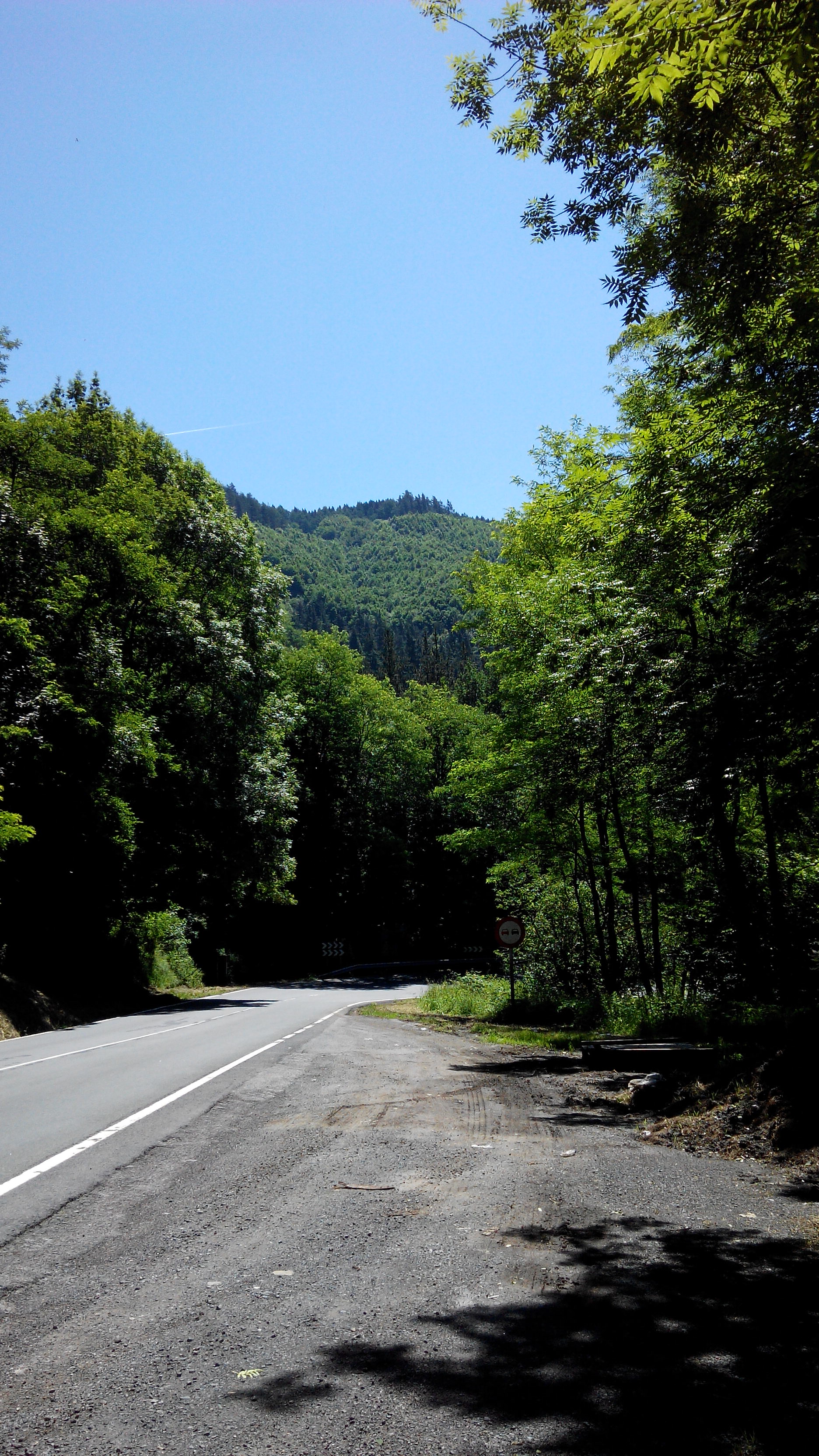
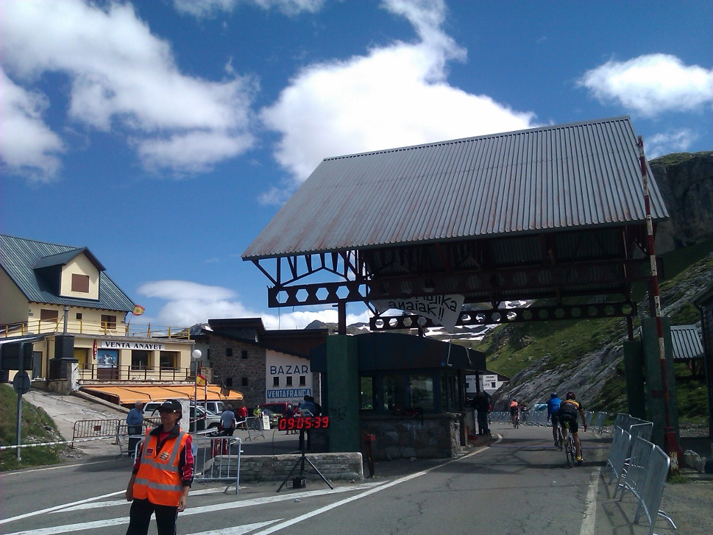
So stage 3 says good bye to Euskal Herria and hello to Castile. Wake up early in Gasteiz and after a quick breakfast I was heading to Miranda de Ebro through Treviño, which is inside Euskal Herria even when it belongs to Castile. After getting lost through Gasteiz and asking the locals how to head to Treviño I had to face Zaldiaran. No big deal, easy and short port I even had time to ask another cyclist how to head to Treviño. “Straight ahead” he said.
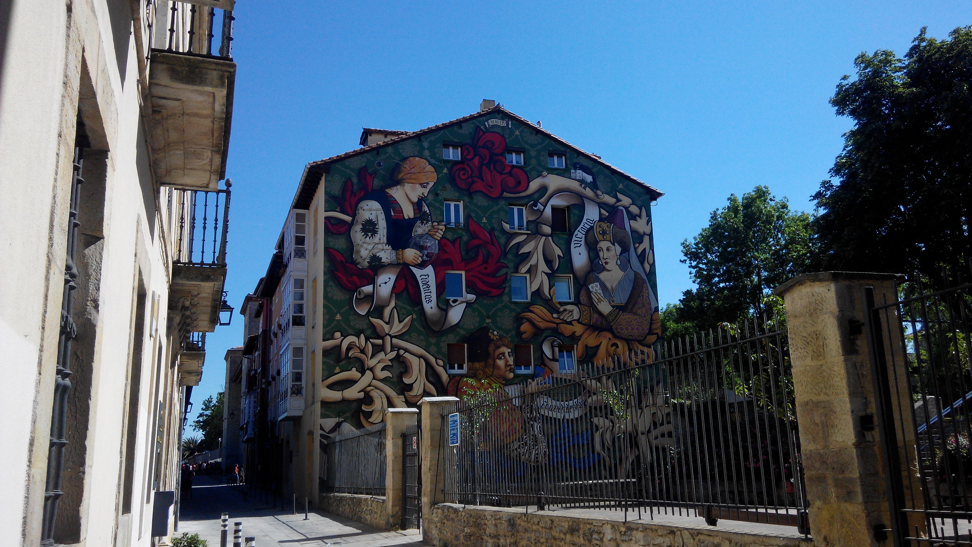
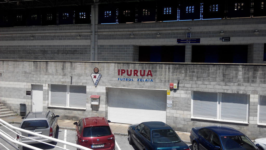
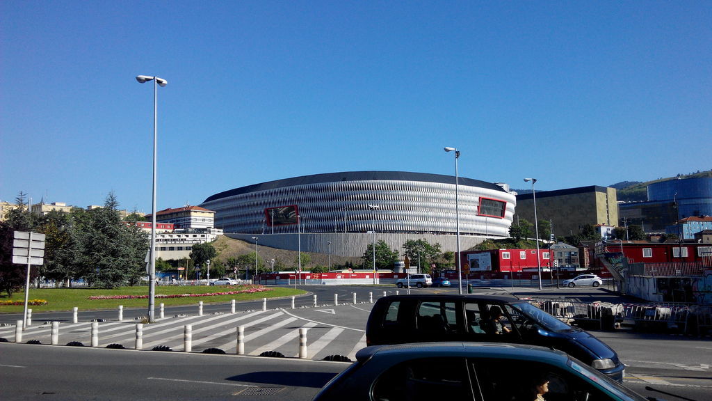
Short visit to Mendizorroza exiting Gasteiz
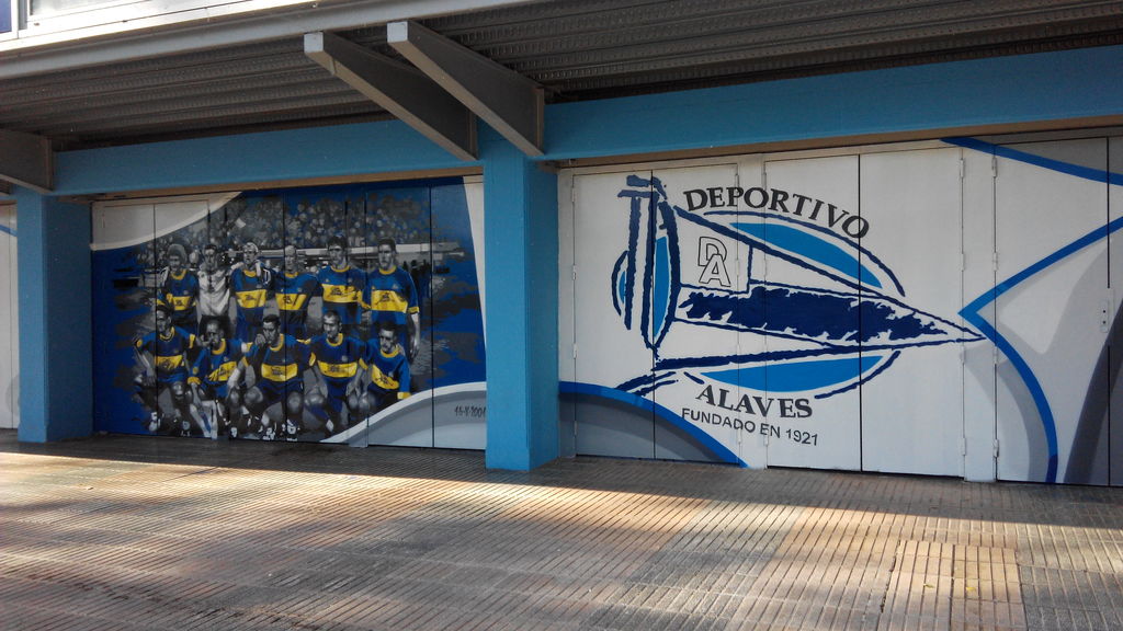
Mendizorroza stadium. Home of Deportivo Alaves
After arriving to Treviño the direction to Miranda de Ebro is clearly indicated. Nothing worth seeing in Treviñ, or at least I didn’t saw anything. After around an hour of cycling we arrive to Miranda de Ebro. Almost no traffic around the road. Easy route so far.
Miranda de Ebro arrival.
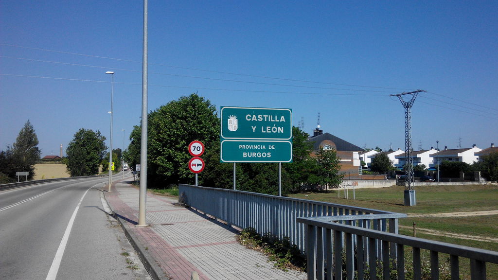
Entering Miranda de Ebro
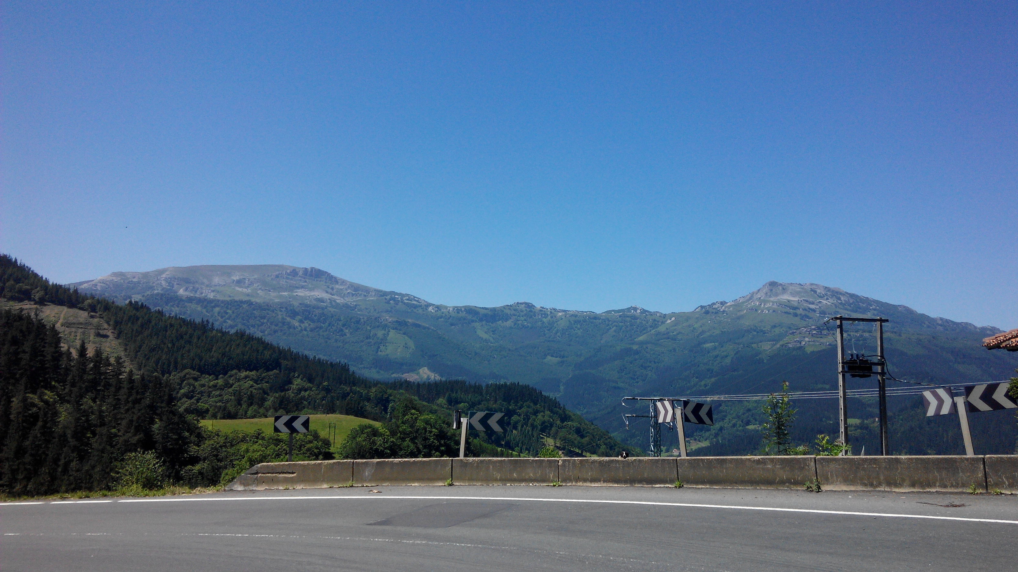
In Miranda I stopped to rest, inflate the bike and buy some food for the kms ahead. On the out of Miranda de Ebro we need to climb La Ventilla, another easy port which takes us to La Rioja.
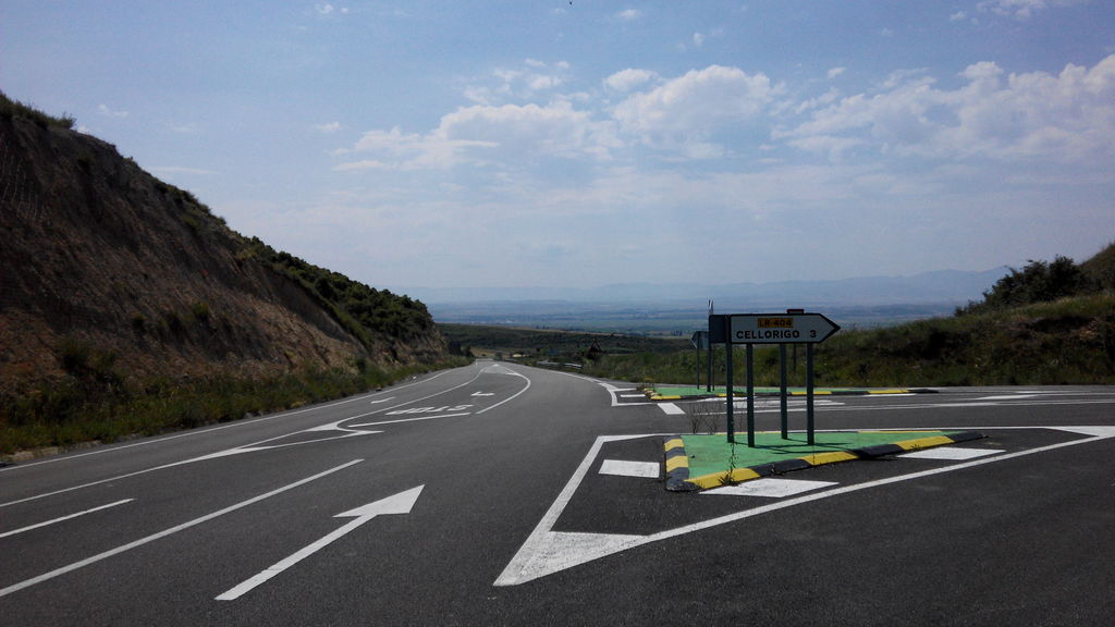
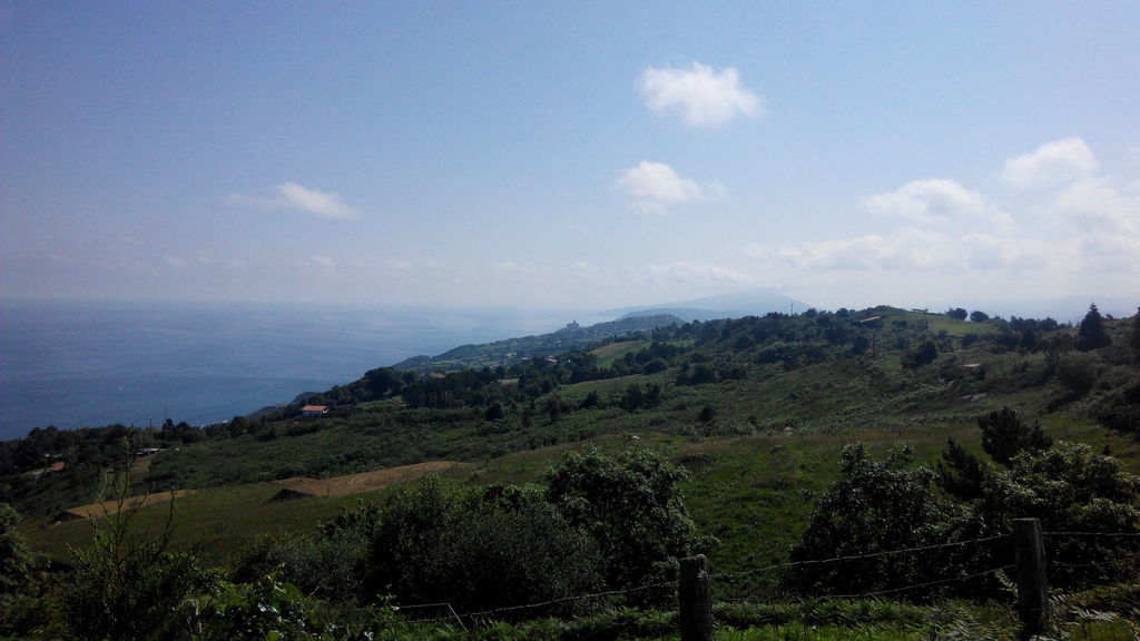
Nice views from the top of La Ventilla.
Flat land ahead and we head to Tirgo in our direction towards Belorado. We stopped in Tirgo to refill the water bottles and I was able to chat a little with the locals. Looked to me like there’s not a lot to do at Tirgo asides from working the vineyards.
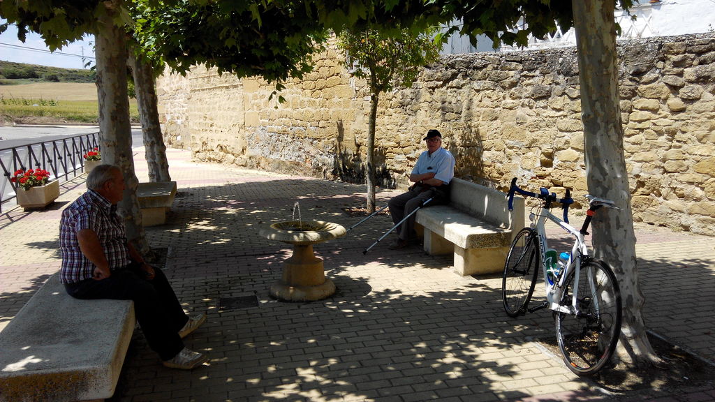
Locals at Tirgo protecting from the Sun.
As of now there was little traffic on the road, which was something really nice. So we leave Tirgo heading to Belorado. Mostly flat terrain now, a little boring too. This is expected as Castile is famous for its flat places. On my way to Belorado I took the wrong road and was heading to Santo Domingo de La Calzada, luckily I went back about 5 kms and took the right road. I arrived at Belorado at around 1430.
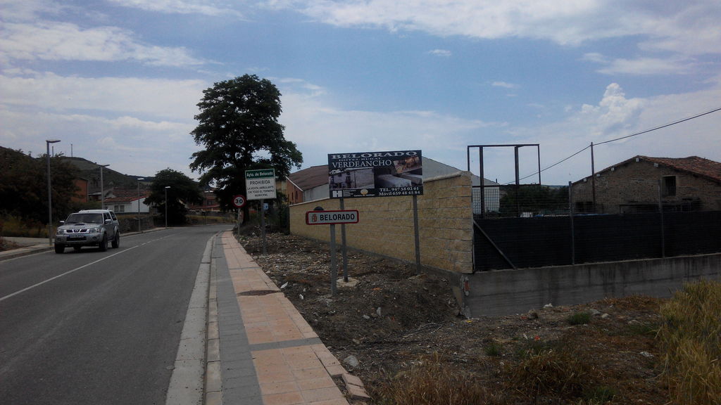
Entrance to Belorado
Lunch time
So after lunch I ride again to Burgos. Burgos is around 60 kms away from Belorado and its mostly flat except for La Pedraja. Easy port, but there is a lot of traffic on the road. Many trucks use it to go from Logroño to Burgos.
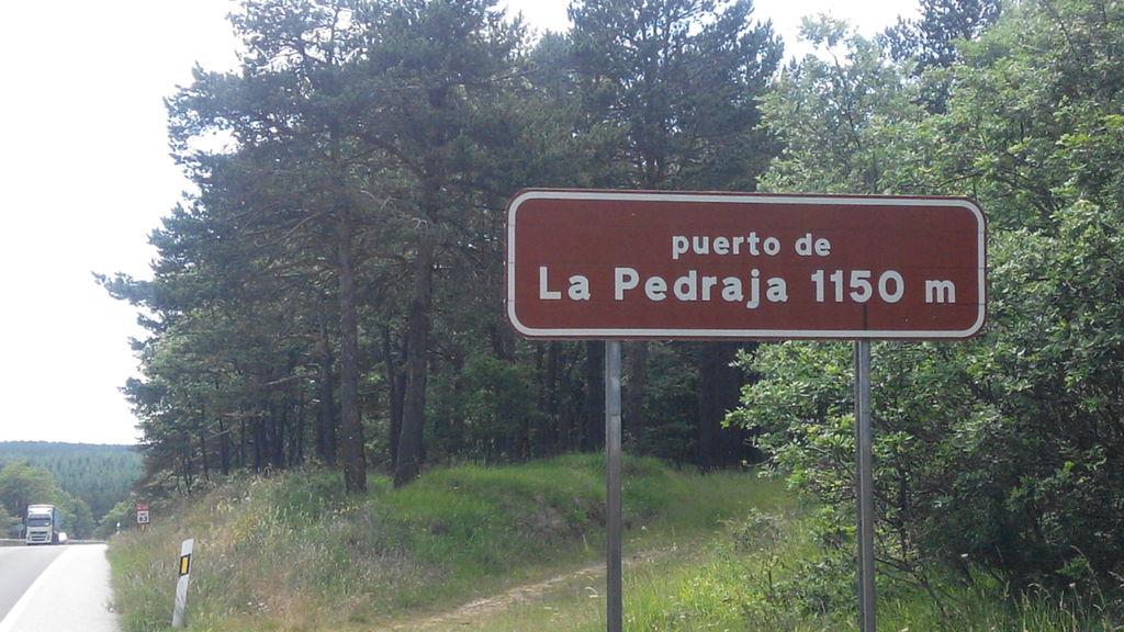
La Pedraja, done too.
On your way to Burgos, you pass close to Atapuerca archeological site.
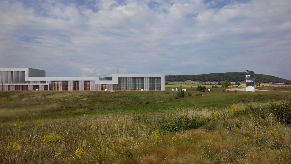
Atapuerca archeological site.
And after passing through an industrial site we arrive to Burgos.
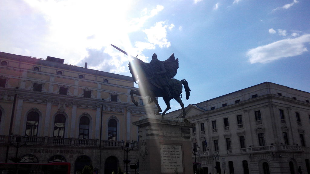
Mio Cid
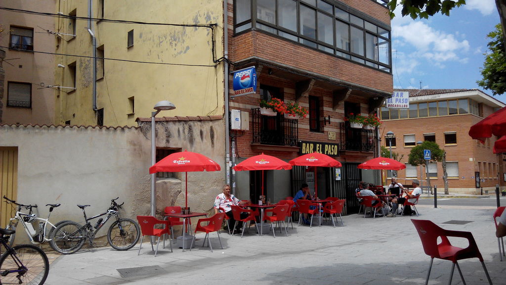
Hotel was pretty close so after a well deserved shower I went out for a walk and found this place called Bar El Patillas. Really authentic place, two beers and a couple of photos.
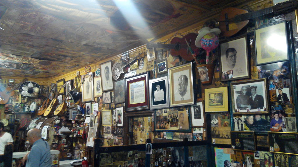
Bar El Patillas
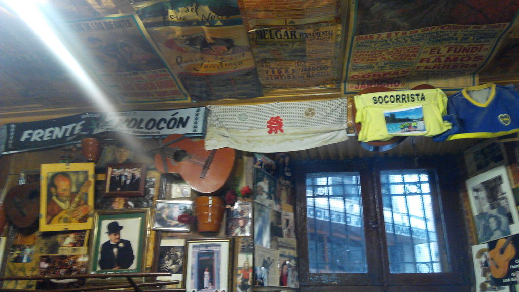
This ain’t Mc’Donalds
I went out for dinner and found that the river Arlanzón flooded the city some years ago.
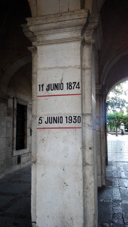
River grew this much
It was a rainy night and there was not much going on so I went back to the hotel to catch some well deserved rest.
Strava file here. Part from Gasteiz to Miranda de Ebro is missing. For some weird reason Garmin misbehaved and I had to start it again.